Paint
Paint the big shapes
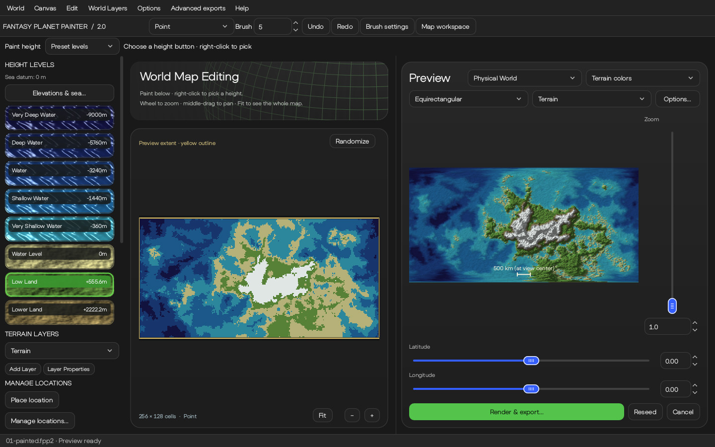
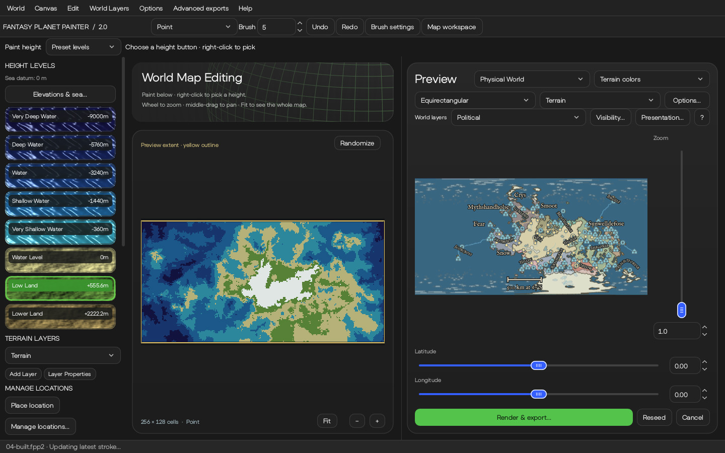
Heights go on a grid where each cell is a region of the planet, so a continent takes a few strokes. The generator builds real terrain between the cells.
- Ten tools — point, box, circle, polygon, soft and blend brushes, two fills, a selection mask and an eraser — at 1 to 256 cells, with six falloff curves.
- Up to 64 terrain layers that hide, lock, reorder and stack like layers in a paint program.
- One undo step per stroke, and a history you can step back through.
- Fourteen terrain recipes, from Volcano to Fractious, to start from; or import a greyscale, Terrain-RGB or colour-mapped heightmap with its 16-bit precision intact.
Real units
Heights in metres, a sea you can move
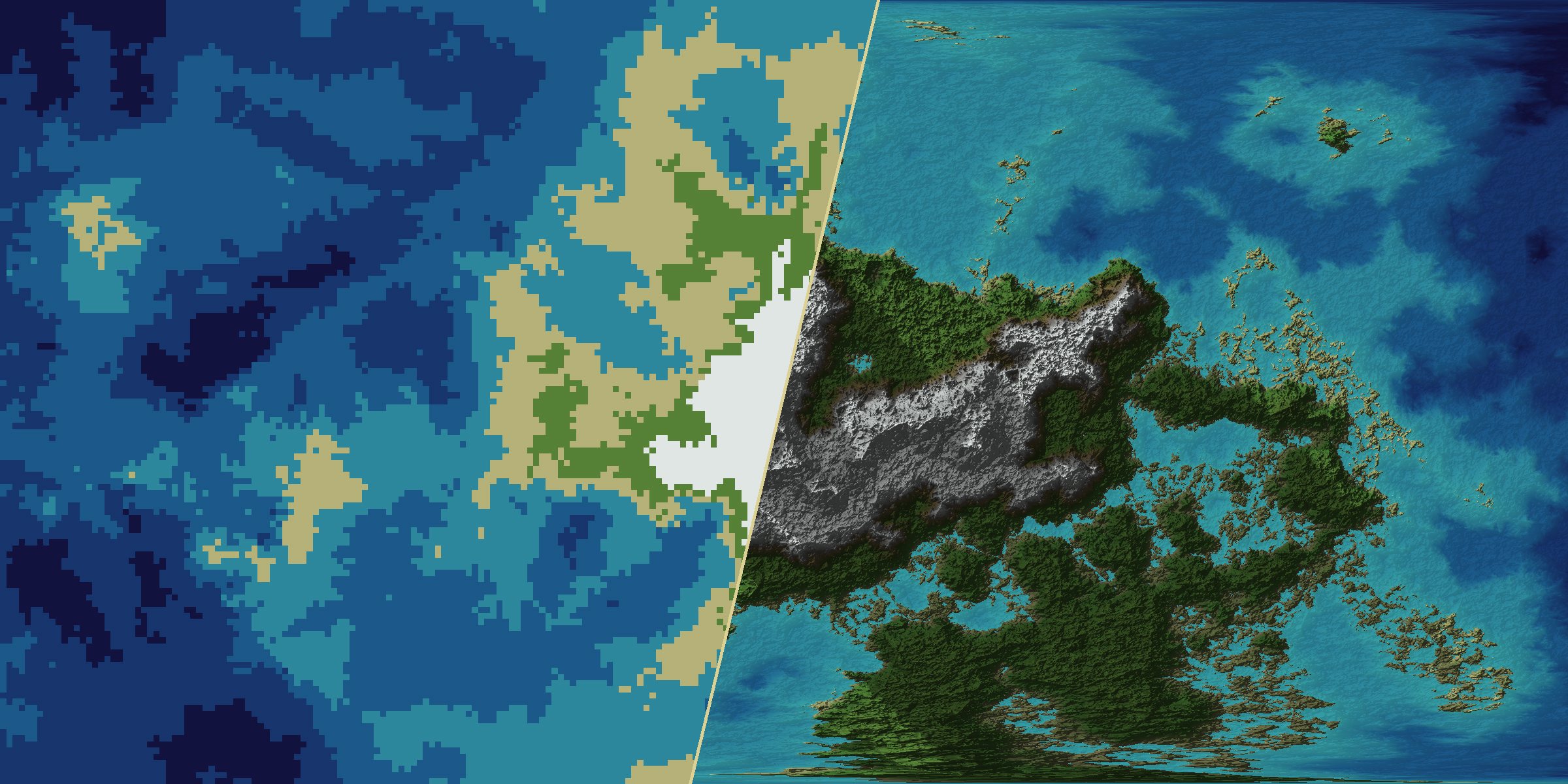
Physical World measures everything. Its twelve height bands are elevations in metres that you can change, and the sea level is independent of them: lower it by 1,500 m and a new coastline appears without repainting anything.
- Sea level anywhere from −20,000 to +20,000 m.
- A planet radius from 1,000 to 100,000 km, and a scale bar in kilometres.
- Exact meters paints a height you type, for the mountain that must be exactly 4,810 m.
Generators
Three ways to generate a planet
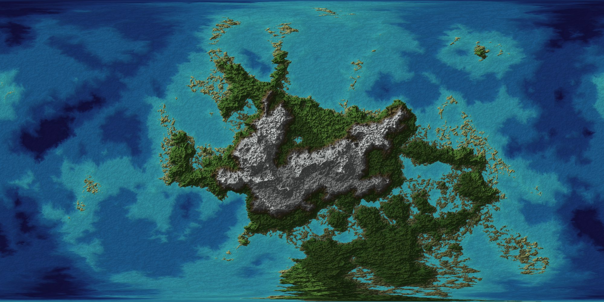
- Physical World — the new generator, in real units, with climate colours and a 3D view.
- Legacy — the generator of version 1.x, with its nine height categories, eleven projections and eighteen themes, for worlds that should look as they always have.
- Flat Land — a flat, bounded map instead of a globe, drawn in 2D or as a relief render, with erosion and water flow.
Switching between them never touches your painting.
Projections
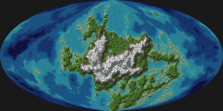
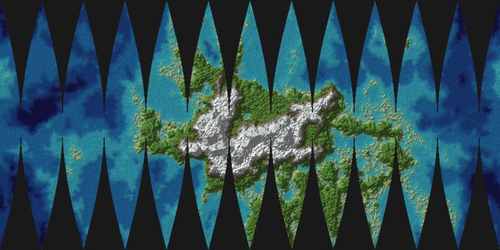
One world, twelve views
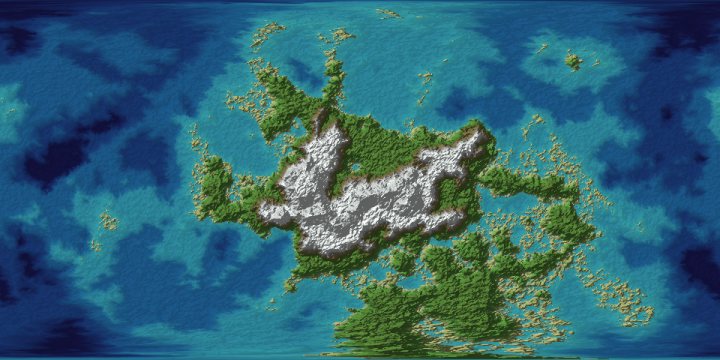
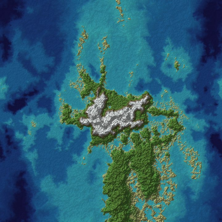
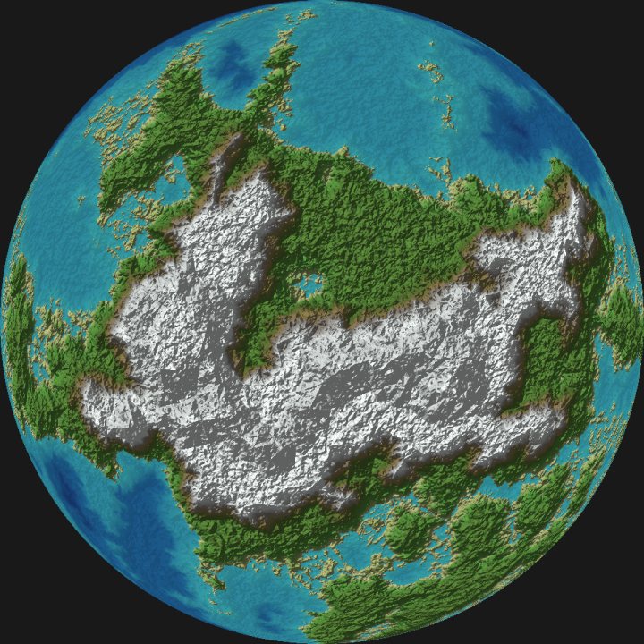
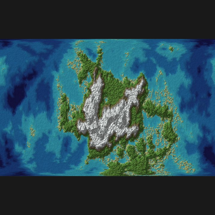
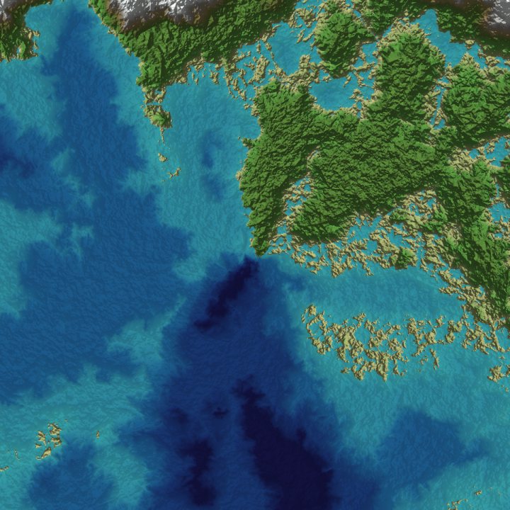
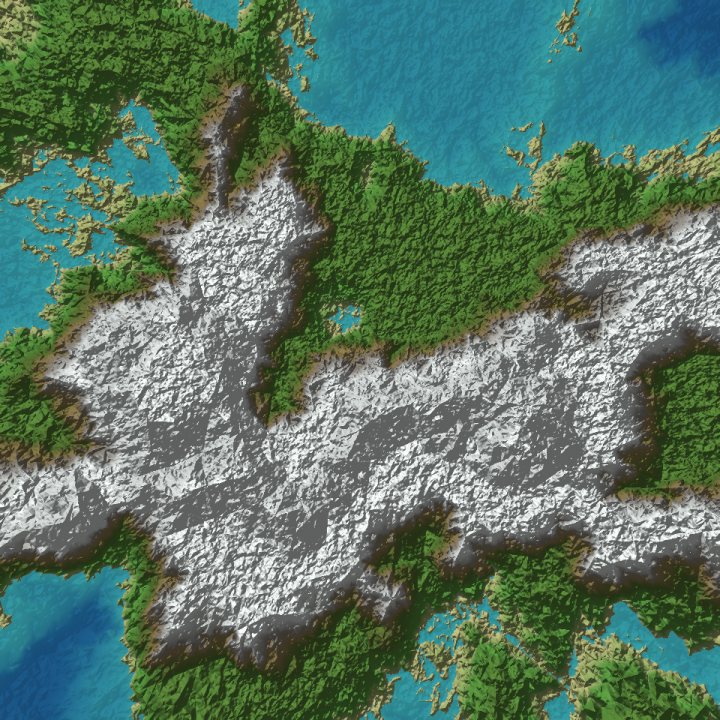
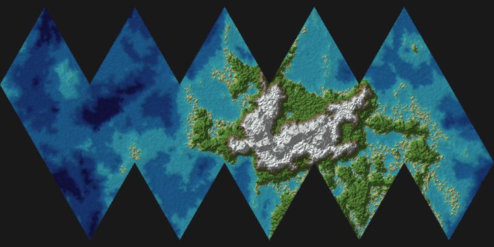
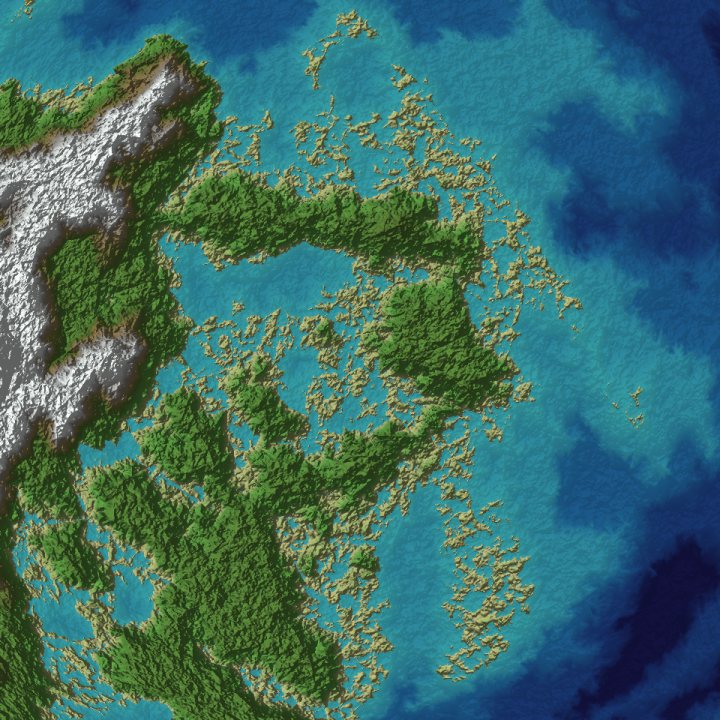
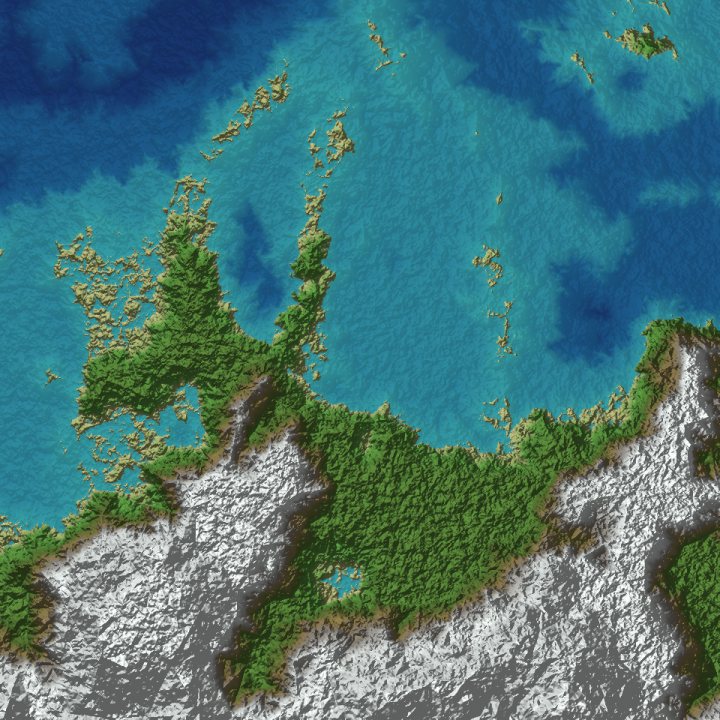
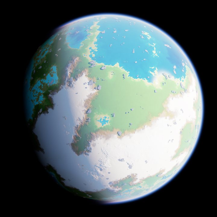
Eleven map projections and the raymarched 3D view, all drawn from the same painted world and re-projected live as you drag the view around.
3D
A planet under its own sky
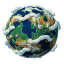
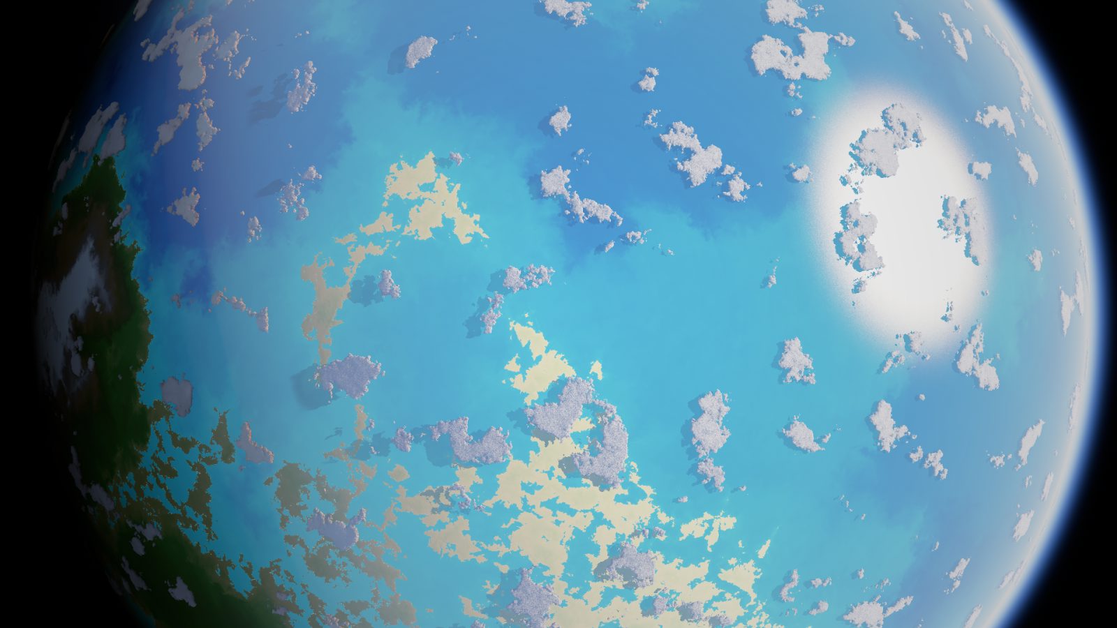
The Raymarched view renders atmosphere, volumetric clouds and ocean over your own terrain. It is not a texture wrapped around a ball: it is the same world as the maps, and it renders on the processor.
- Cloud cover, cloud base and cloud top you can set.
- On-screen handles for distance, view elevation — from straight down to the horizon — and heading.
- Export the view like any other, up to 8,192 pixels.
Fly down to the coast
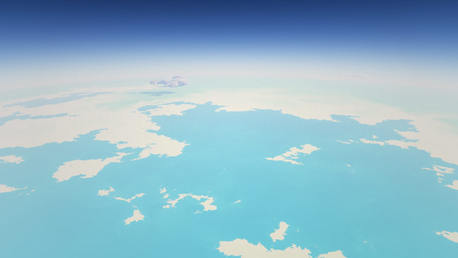
Bring the camera down to a few tens of kilometres and the world becomes a landscape: coastlines, open water, weather, and the curve of the atmosphere at the horizon.
Detail
Zoom until it is a ridge
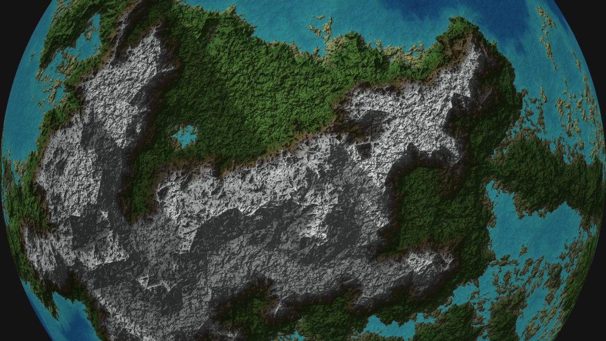
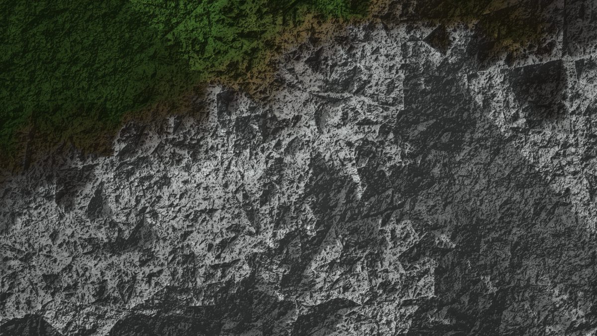
From the whole planet to a millionth of it. The detail is generated as you approach, guided by the heights you painted, and relief shading with cast shadows keeps every scale readable.
Colour
Twenty ways to colour a world
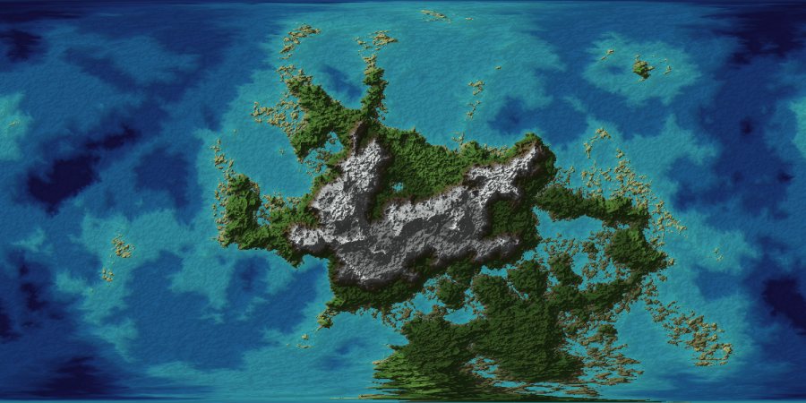
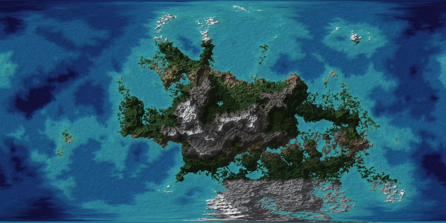
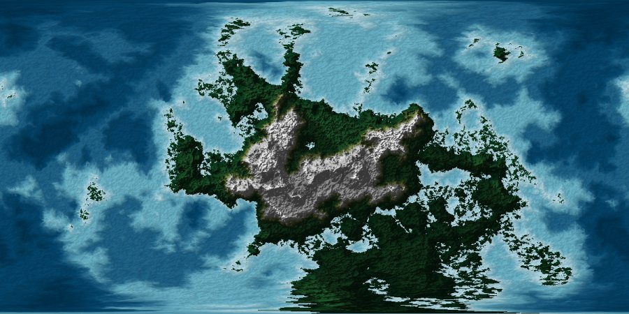
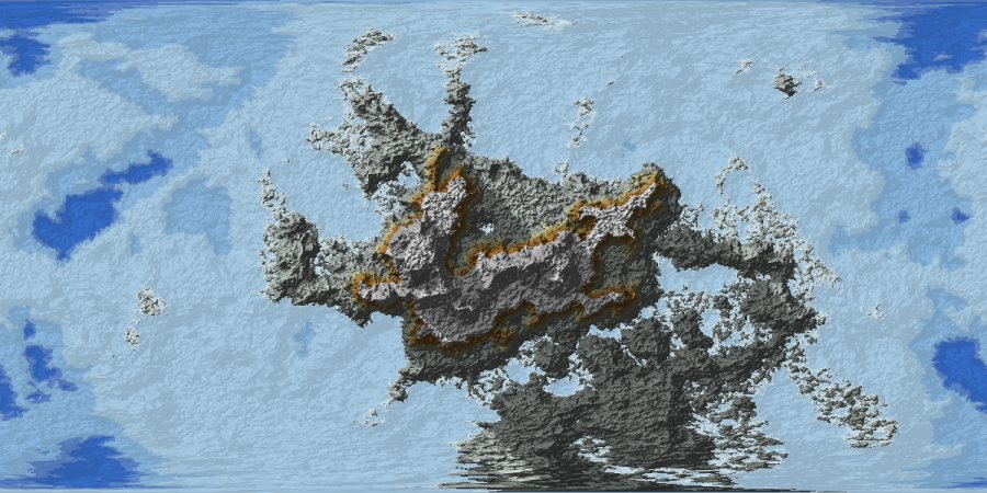
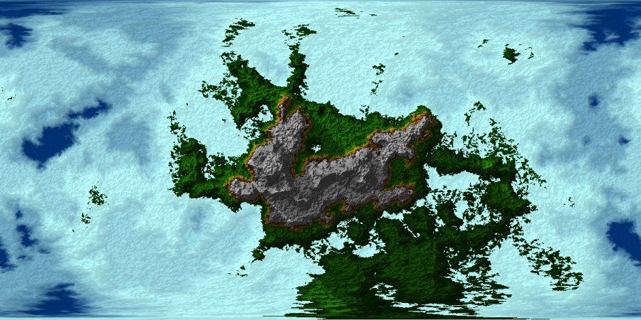
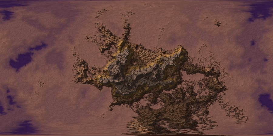
Terrain colours; a climate model that places forests, grassland, deserts, snowlines and bare rock by latitude, altitude and slope; and the eighteen classic palettes of version 1.x. The same colours appear on the maps and in 3D.
World building · experimental
Grow a fantasy world on it
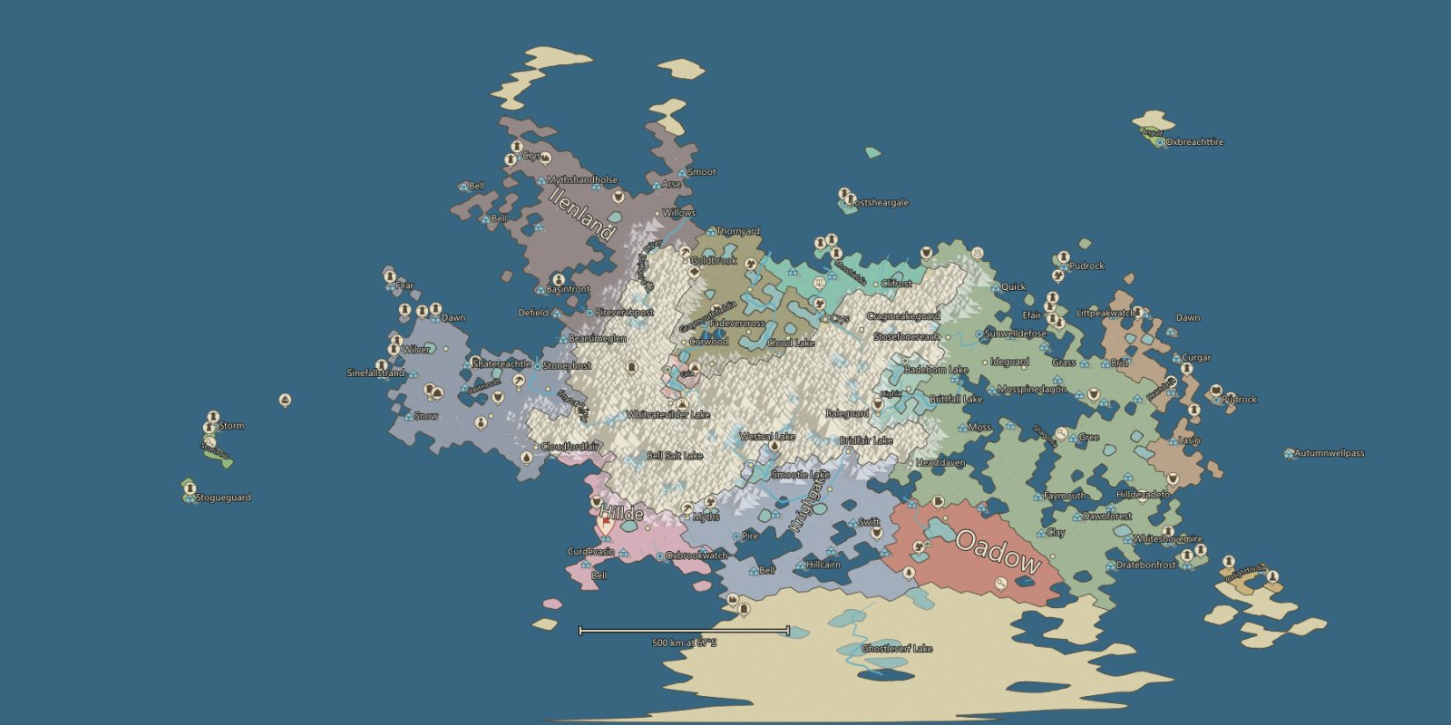
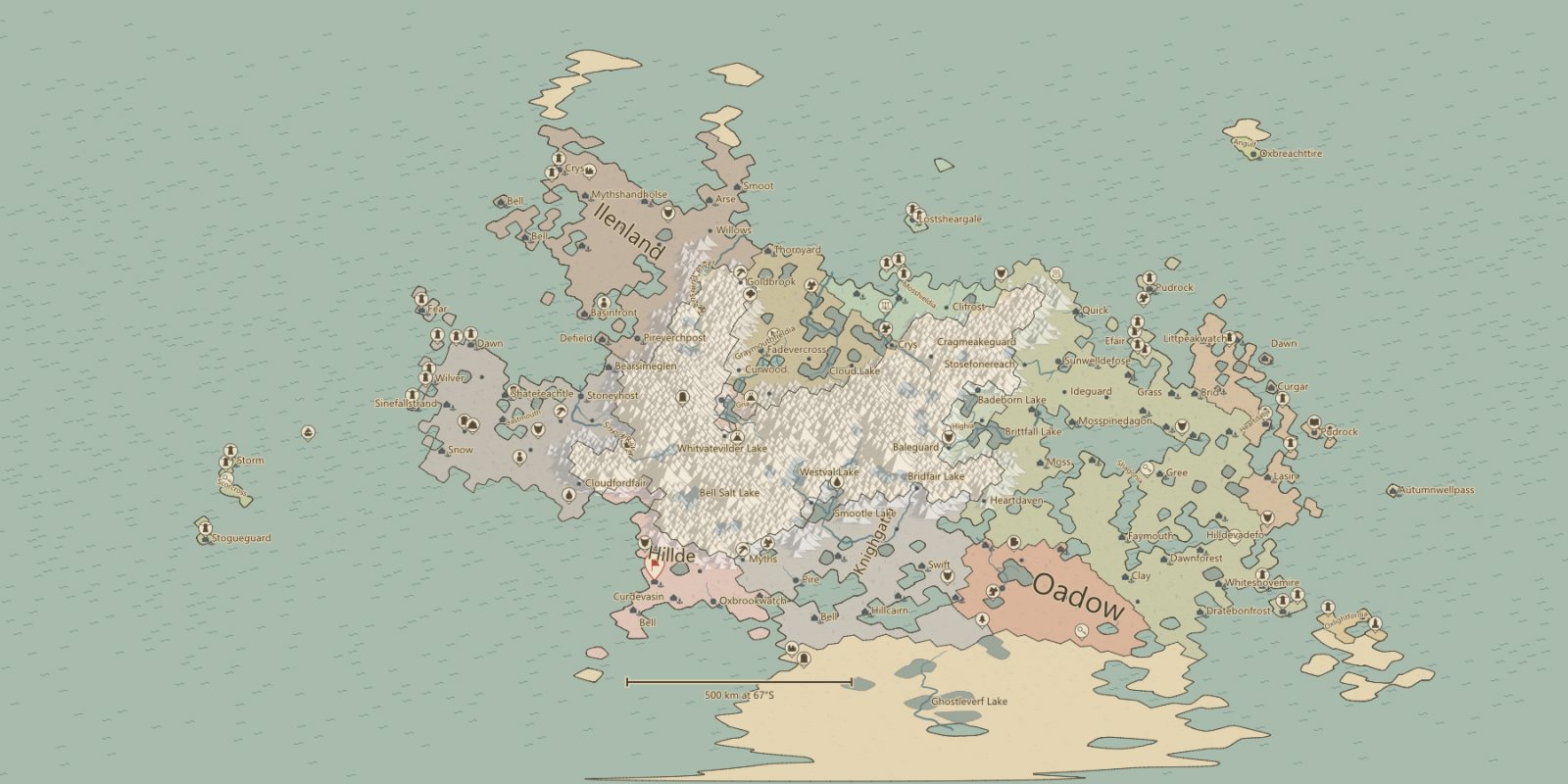
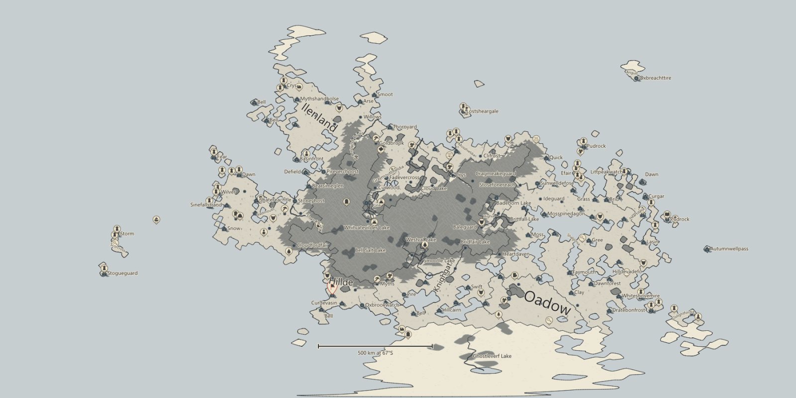
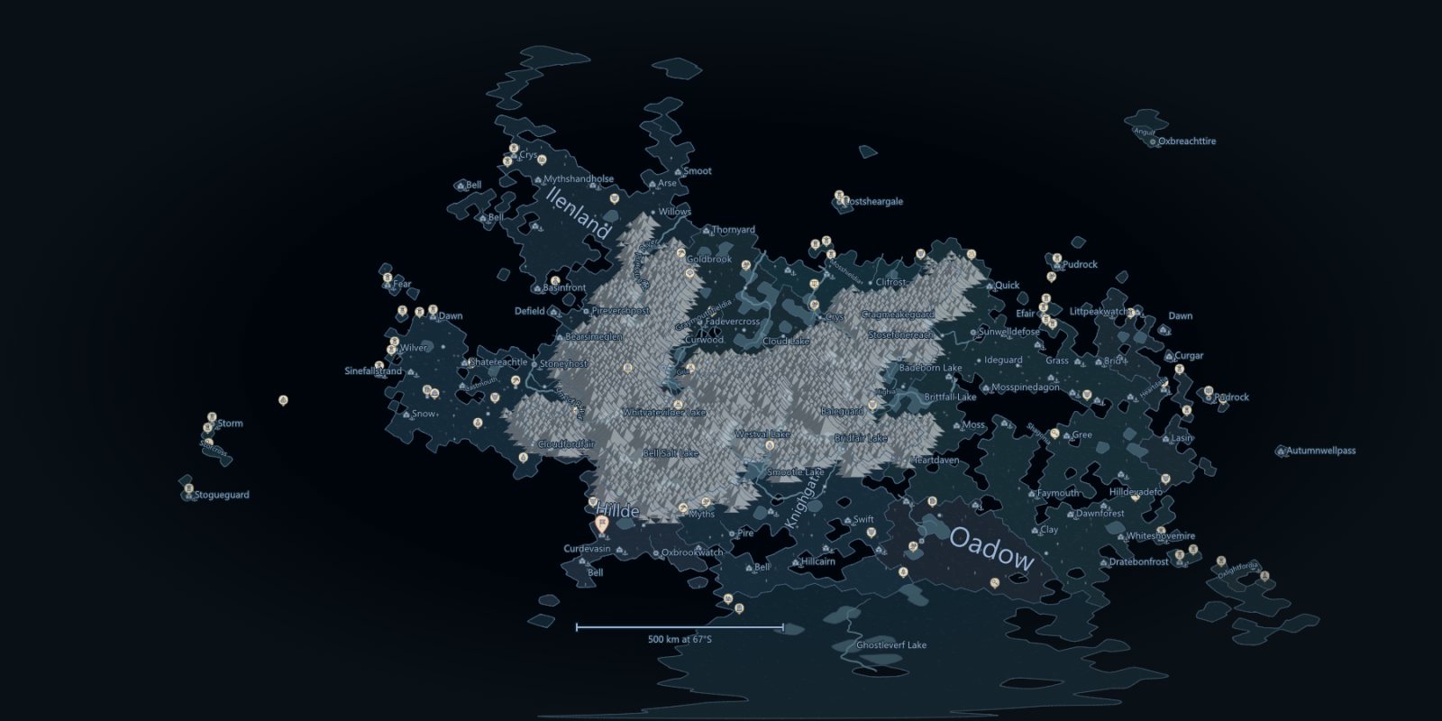
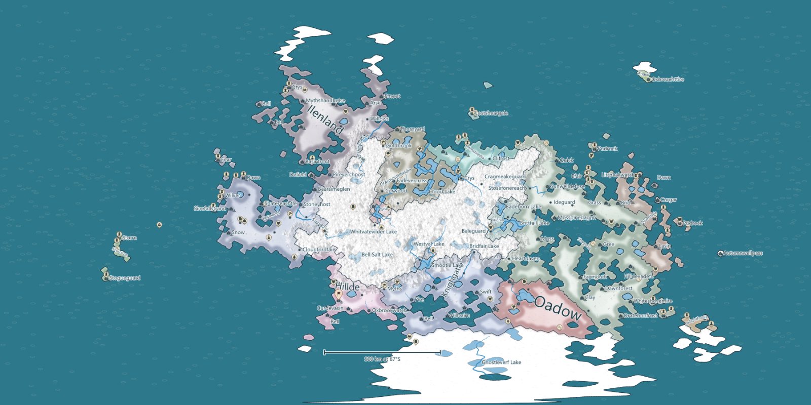
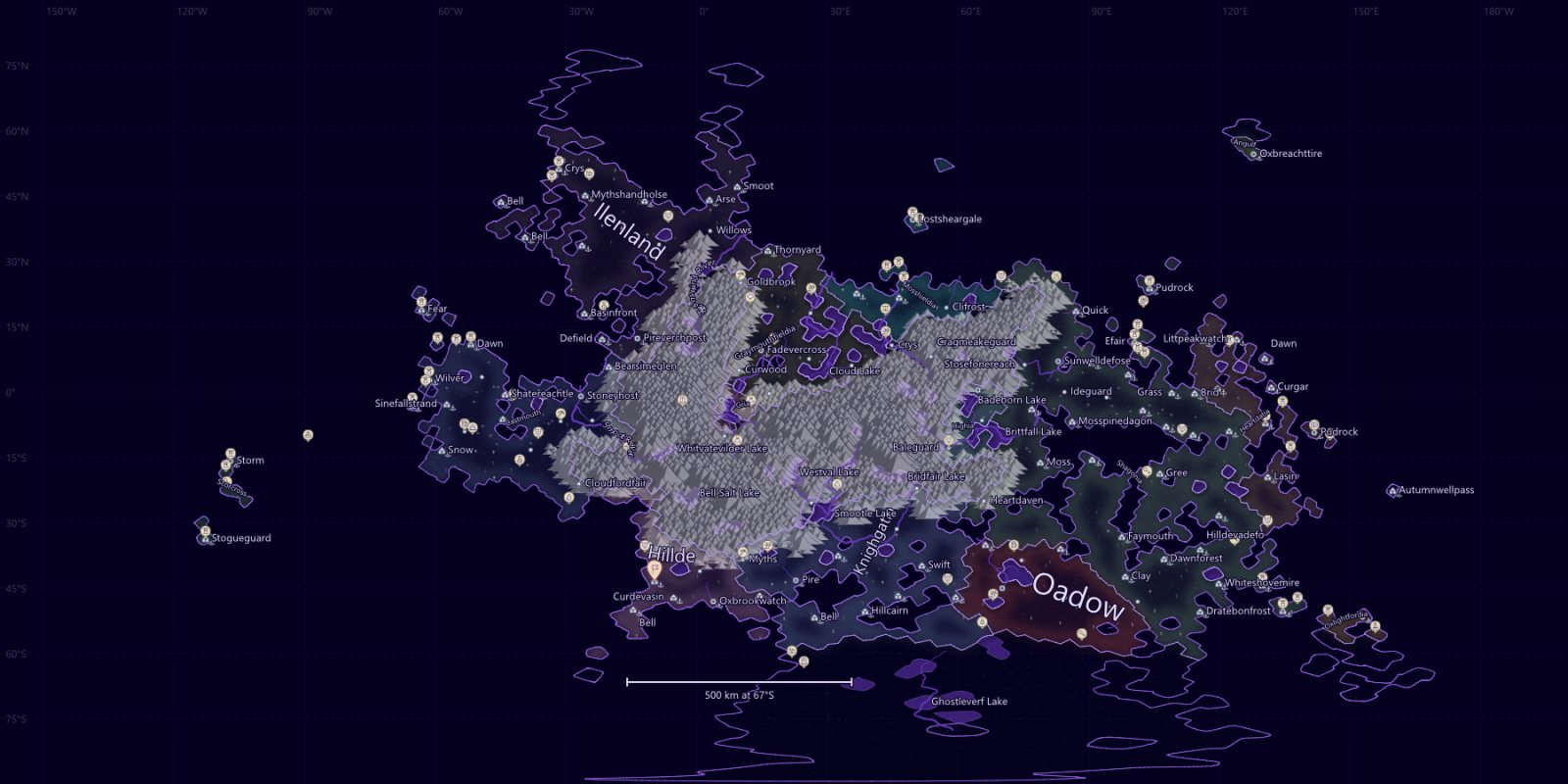
Build a fantasy world turns your terrain into a world: climate, rivers and lakes, fourteen biomes, up to 100 countries with their borders and provinces, up to 256 settlements, cultures, religions, roads, sea routes, markets and coats of arms. Then read it through sixteen map views — political, cultural, climate, trade and more — in fifteen styles.
World building in 2.0 generates, shows and restyles worlds. Tools to edit what it generates are in development; see the road map.
Exports
Made to leave the program
- PNG up to 8,192 pixels on the longest side, with the world layers, names, legend and scale bar rendered in.
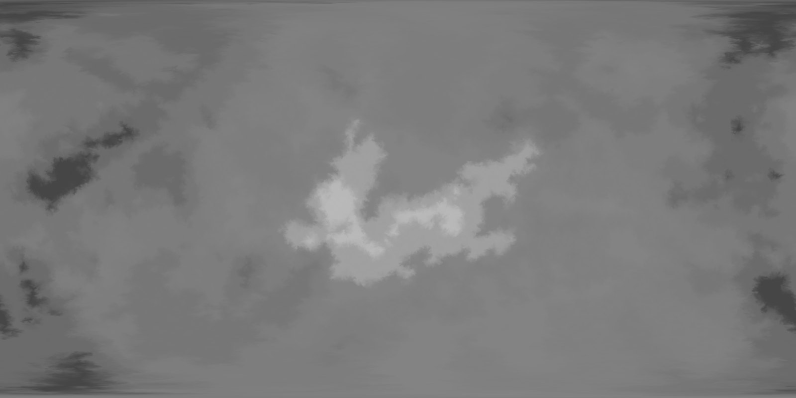
- 16-bit height PNG for game engines and terrain tools, recording its −20,000 to +20,000 m range in the file.
- Vector SVG of the map layers, with the lettering as outlines, or a transparent PNG.
- .fpp2 keeps everything editable; .planet opens and exports for version 1.x and World to Beyond.
Free DLC · coming soon
Play on the world you painted
The World to Beyond add-on turns a planet into a playable map for Beyond All Reason and other Spring/Recoil games. It installs beside Fantasy Planet Painter and appears under Advanced exports.