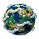
Heights in real metres
Twelve height bands measured in metres, a sea level you can raise or lower, and a planet radius from 1,000 to 100,000 km. Paint an exact elevation when a mountain must be exactly 4,810 m.

Fantasy Planet Painter 2.0
Sketch the heights of a planet on a small grid, and Fantasy Planet Painter turns the sketch into a detailed world — real elevations, climate, ice and coastlines — to see on a globe, through eleven map projections, or from above the clouds.
How it works
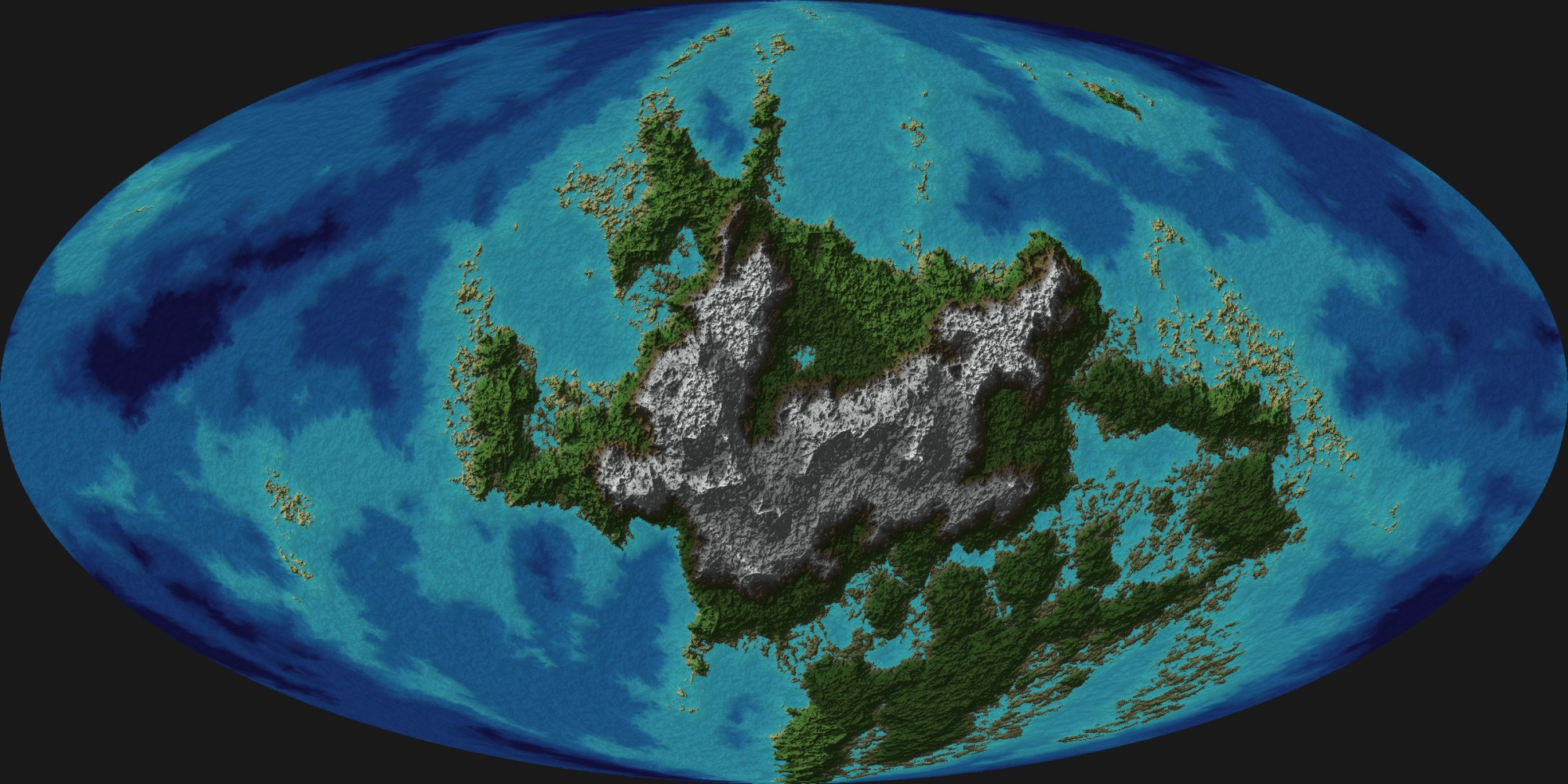
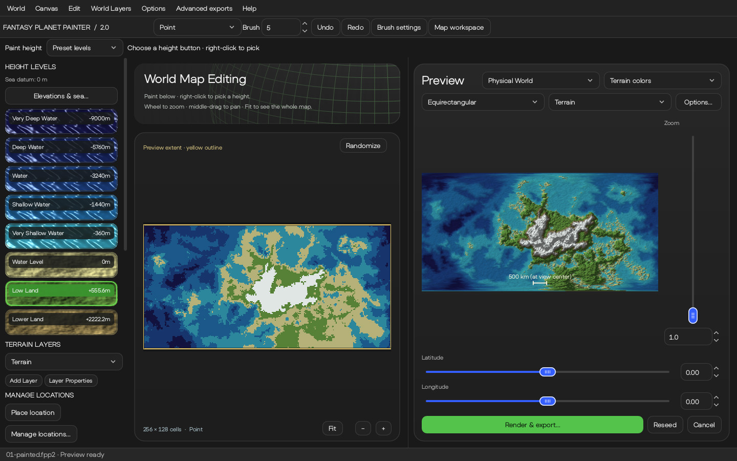
On the left, the grid a user paints, where every cell is a single height. On the right, the planet the program generates from it, framed exactly the same way.
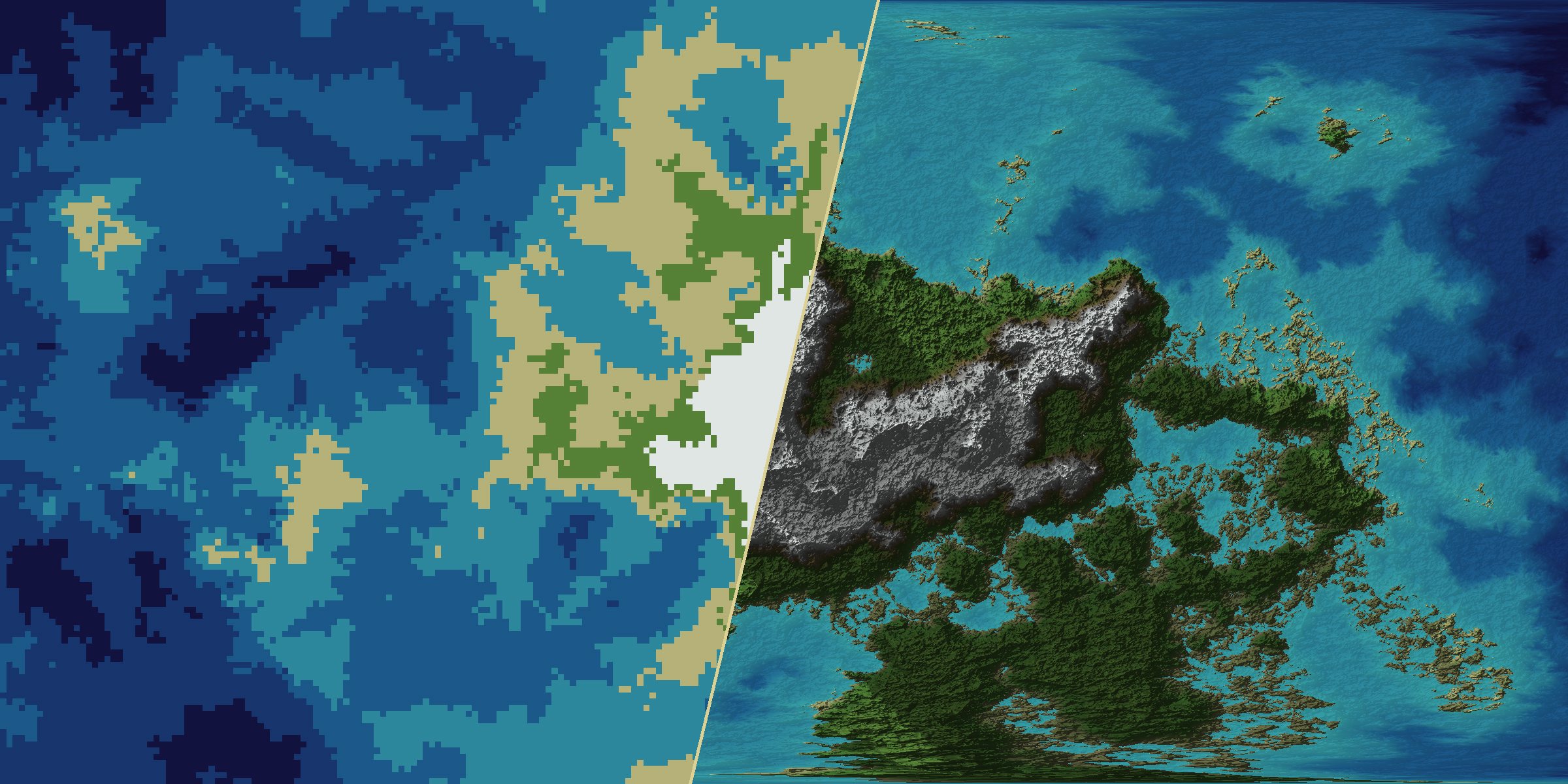
Choose from twelve heights, from deep ocean to high peaks, and paint on a grid where every cell stands for a region of the planet.
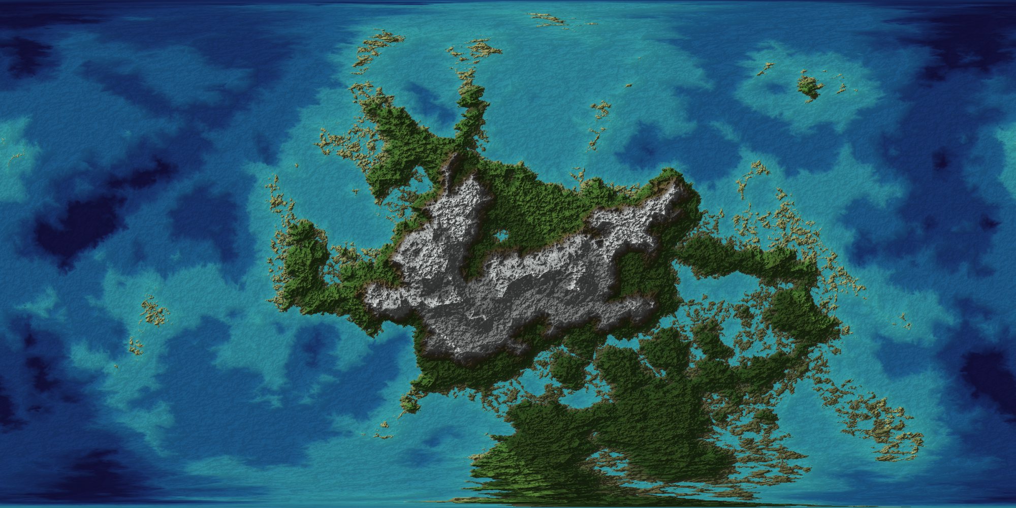
The preview renders while you paint: coastlines, mountain ranges, valleys and ice, with detail that holds up as you zoom in.
Export images up to 8,192 pixels, 16-bit heightmaps for game engines, or the map's layers as vector SVG.
Launch trailer
Four minutes through the new version, filmed from the real editor. Every planet in it is the software's own output, rendered on the processor with no textures and no graphics card.
The video plays from YouTube. Nothing is loaded from YouTube until you press play.
What's inside
Whether the world is for a novel, a campaign, a game or the pleasure of it, the program keeps you on the big picture and fills in the rest.
Twelve height bands measured in metres, a sea level you can raise or lower, and a planet radius from 1,000 to 100,000 km. Paint an exact elevation when a mountain must be exactly 4,810 m.
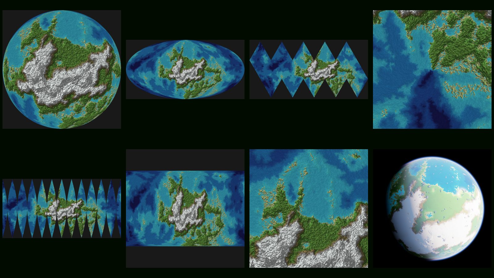
One painted world through Equirectangular, Mercator, Mollweide, Orthographic, Icosahedral and six more, re-projected live as you drag.
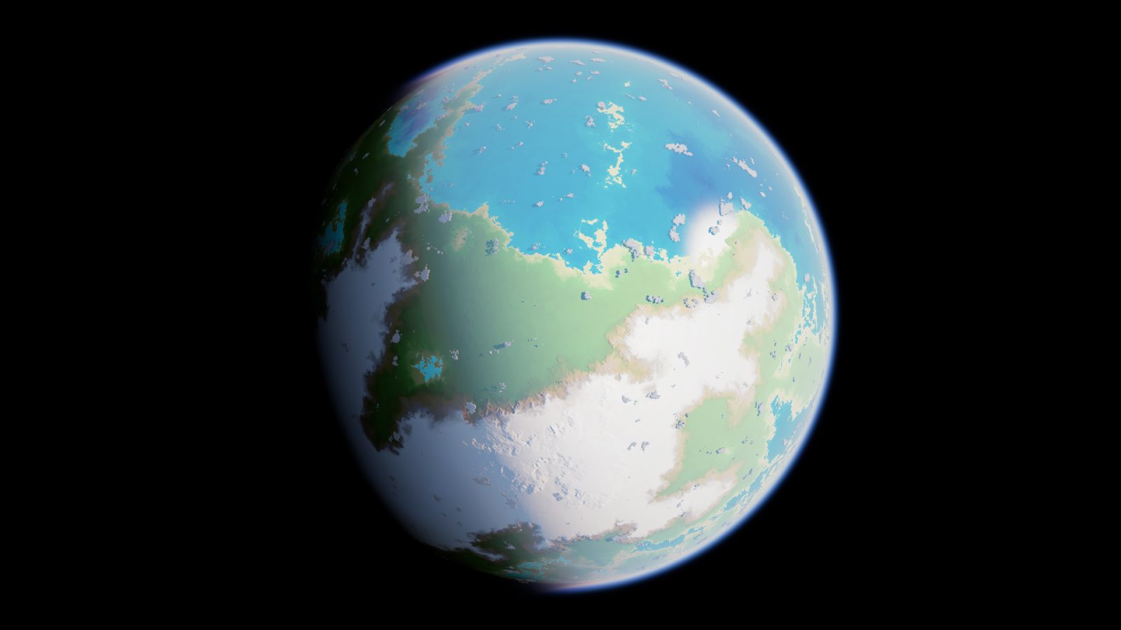
The built-in raymarched view draws atmosphere, volumetric clouds and ocean over your terrain. Orbit it, or fly down to the coast.
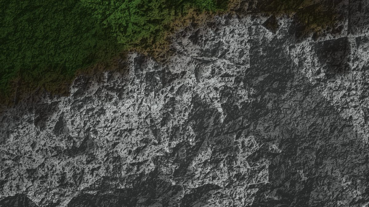
Zoom from the whole planet to a millionth of it. Relief shading with cast shadows keeps ridges and valleys readable at every scale.
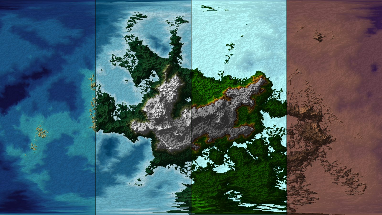
Terrain colours, a climate model that knows where forests, deserts and snowlines belong, and eighteen classic palettes.
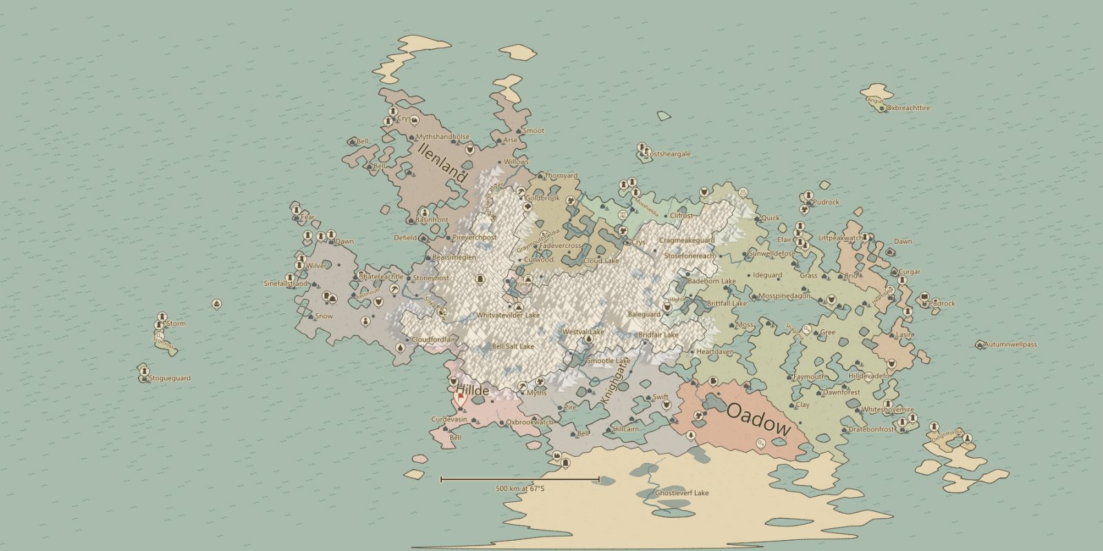
Countries, settlements, cultures, religions, roads and rivers generated from your terrain, shown through sixteen map views in fifteen styles.
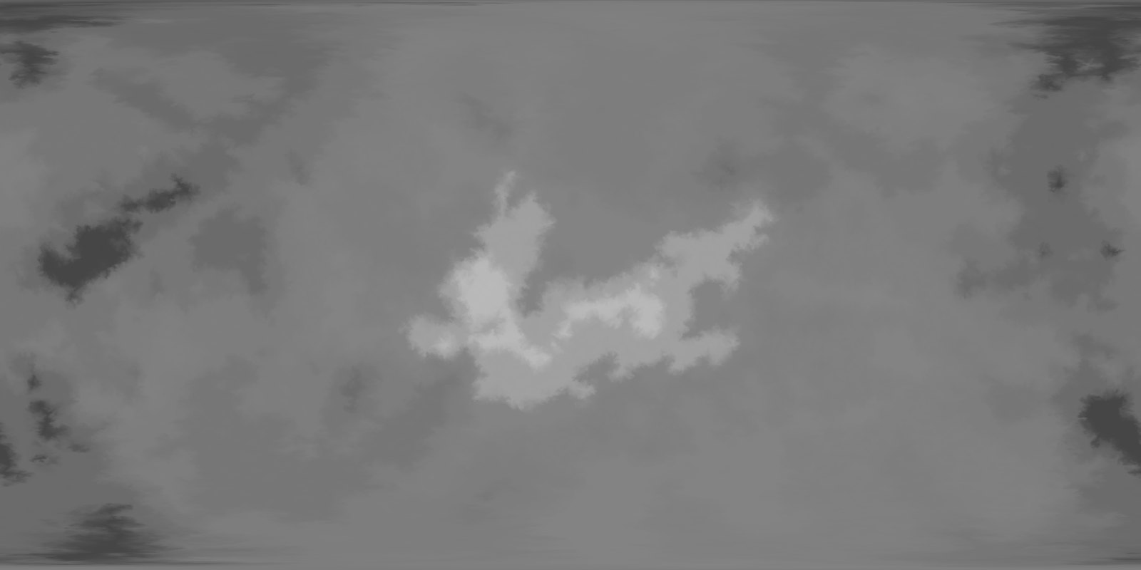
PNG images up to 8,192 pixels, 16-bit heightmaps with their metre range recorded, vector SVG map layers, and .planet files for older tools.
Turn a planet into a playable map for Beyond All Reason with the World to Beyond add-on.
No graphics card required
Version 2.0 is a new program: a physical terrain generator, world layers, a raymarched view and a redesigned editor, all rendered on your own processor.
Fantasy Planet Painter 2.0 is on Steam. Looking for version 1.x? It is still on itch.io.